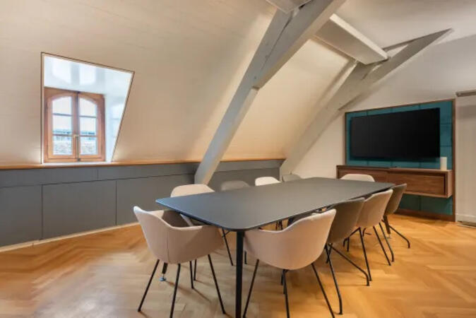
.jpg)
.jpg)
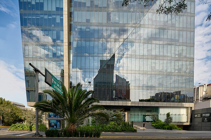
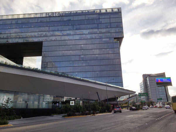
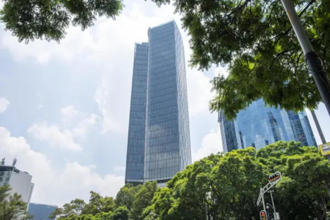
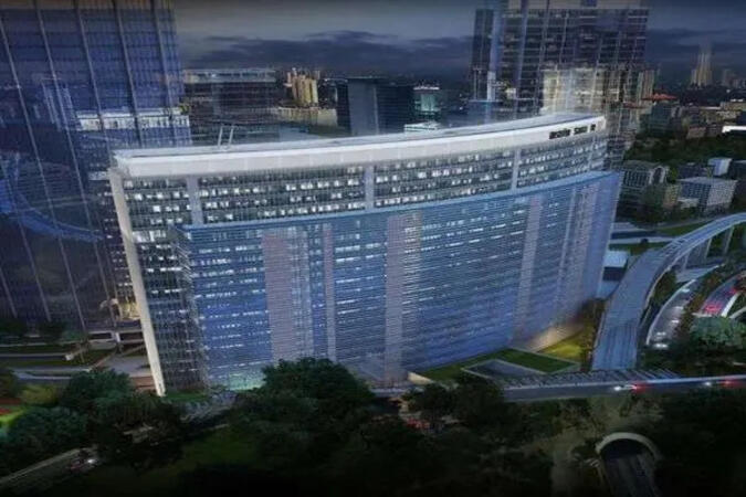
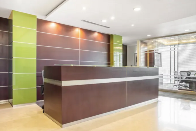
Calzada Gral. Mariano Escobedo 526, Mexico City, Mexico , 11590
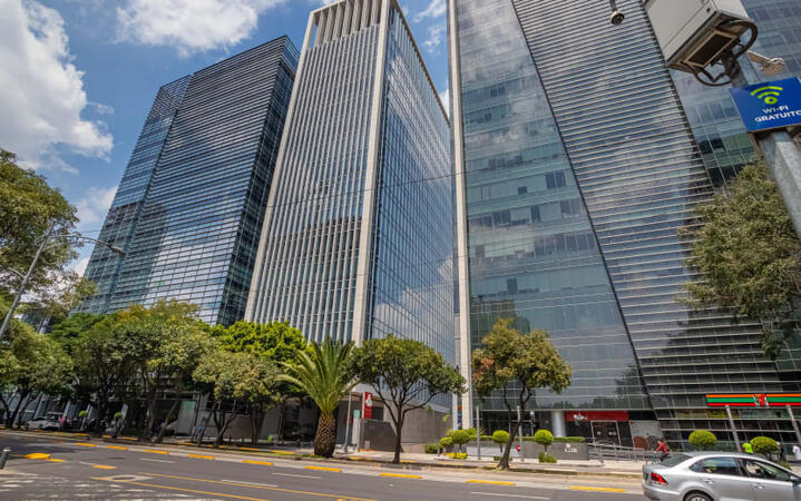
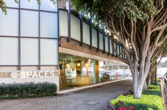
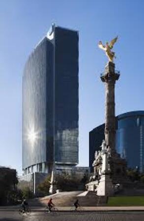
The area is home to the city's densest concentration of luxury shopping, hotels and restaurants, home furnishings shops, and well, everything. You’re not short of eateries and things to do either. Cielito Querido Café is very popular – and for good reason. Rubaiyat Steak house is a firm favourite of locals too. Nearby is the Museo Nacional de Antropología Museum and you’ll have easy access to all the main transport links.